Water and Resource Management
- Erosion and Sediment Control
- Stormwater Quality and Quantity Modelling and Management Plans
- Water Quality Monitoring and reporting
- Flood Studies, Flood Level Analyses and Flood Mitigation
- Stormwater Recycling and Reuse
- Riparian Studies
- Water Balance Modelling
Water and Resource Management Examples:
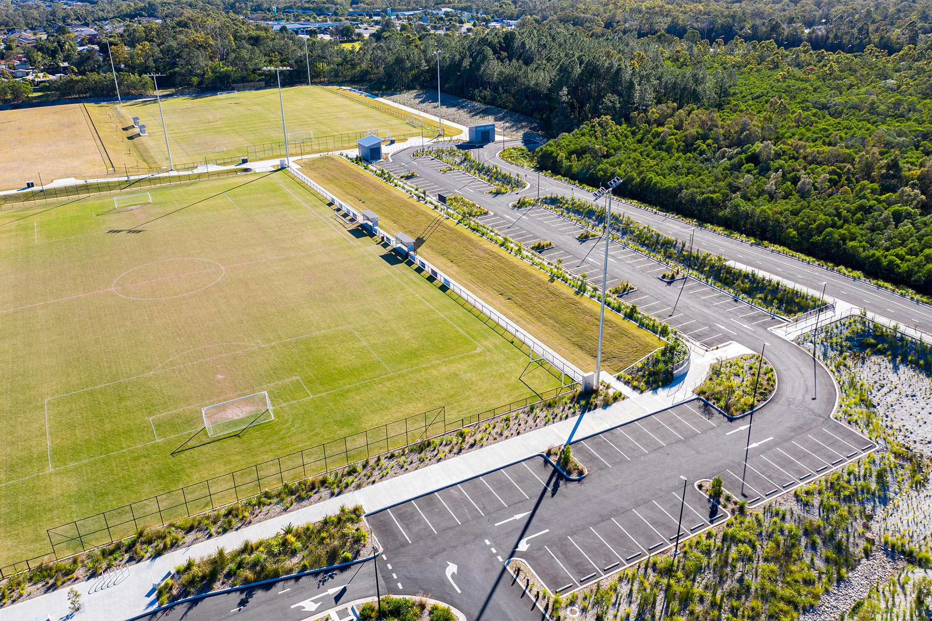
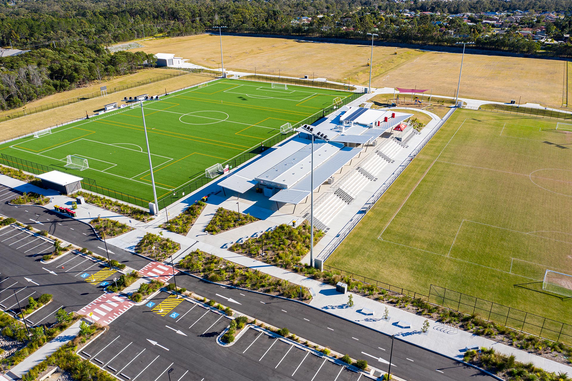
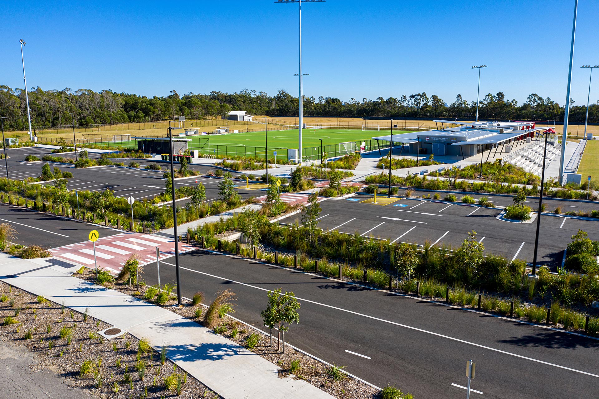
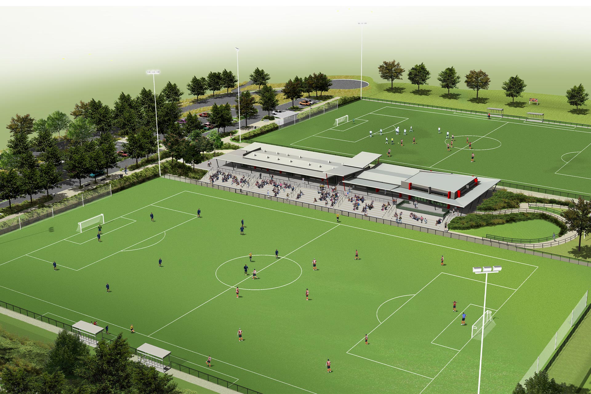
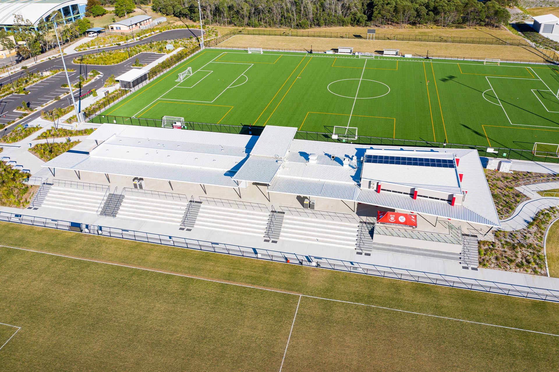
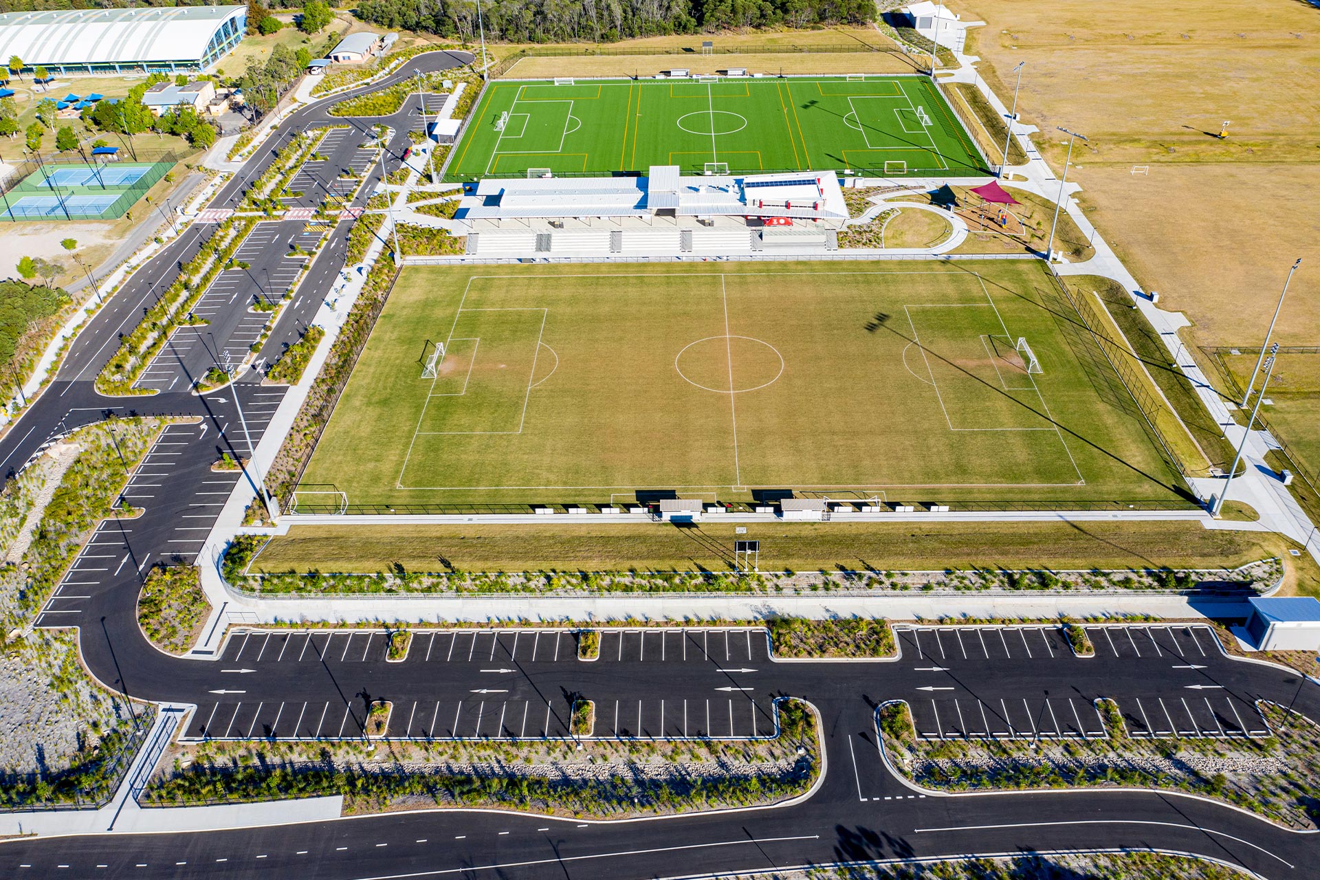
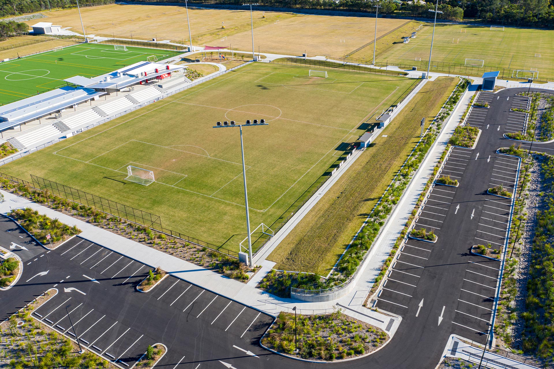
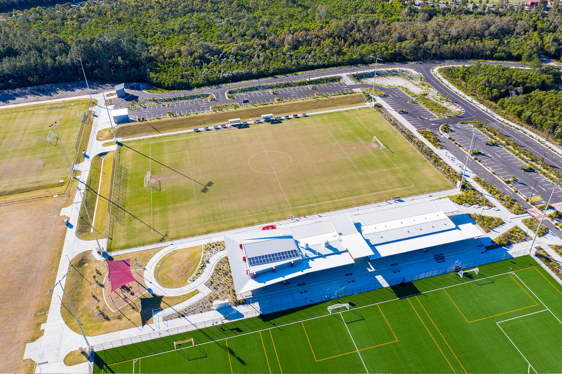
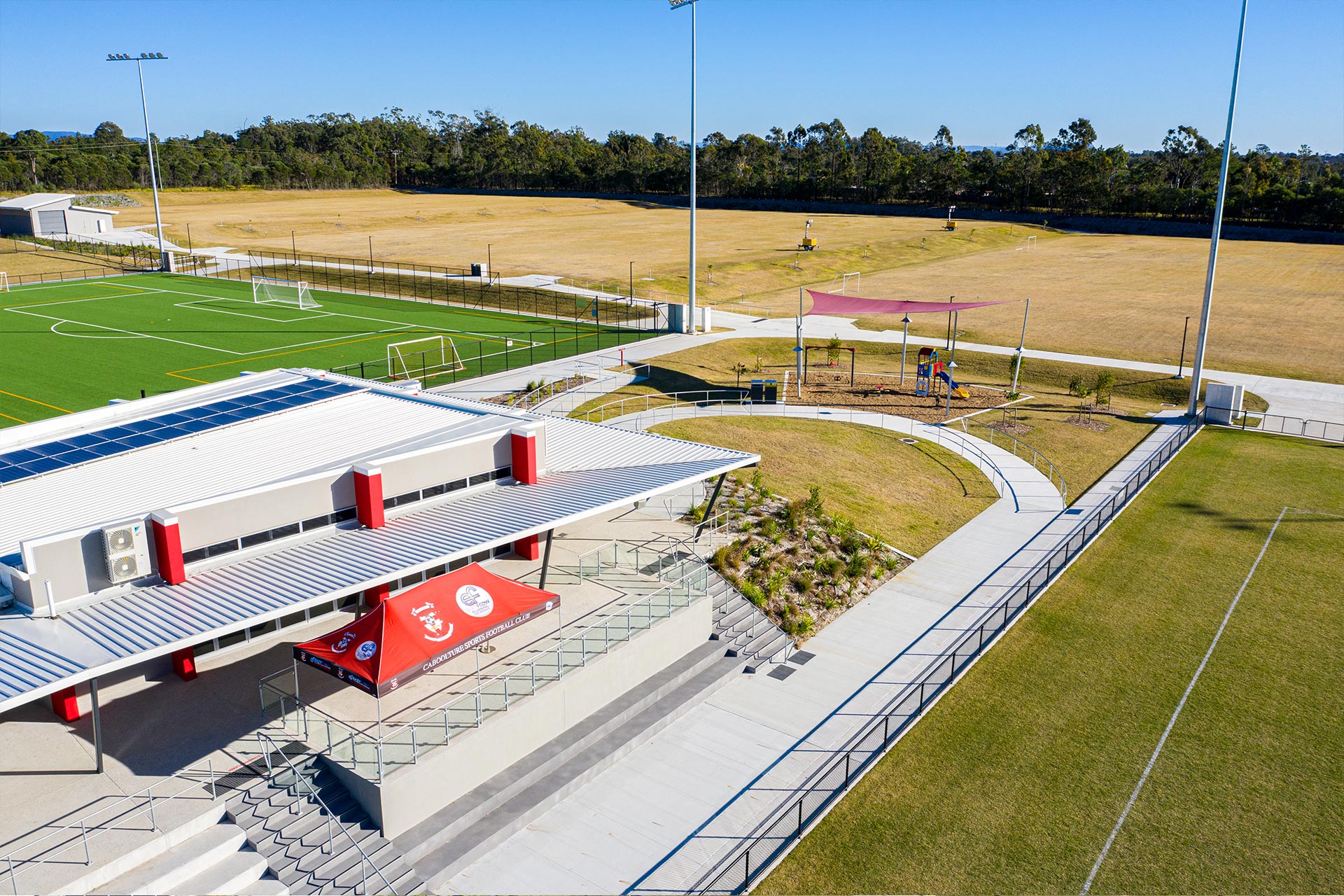
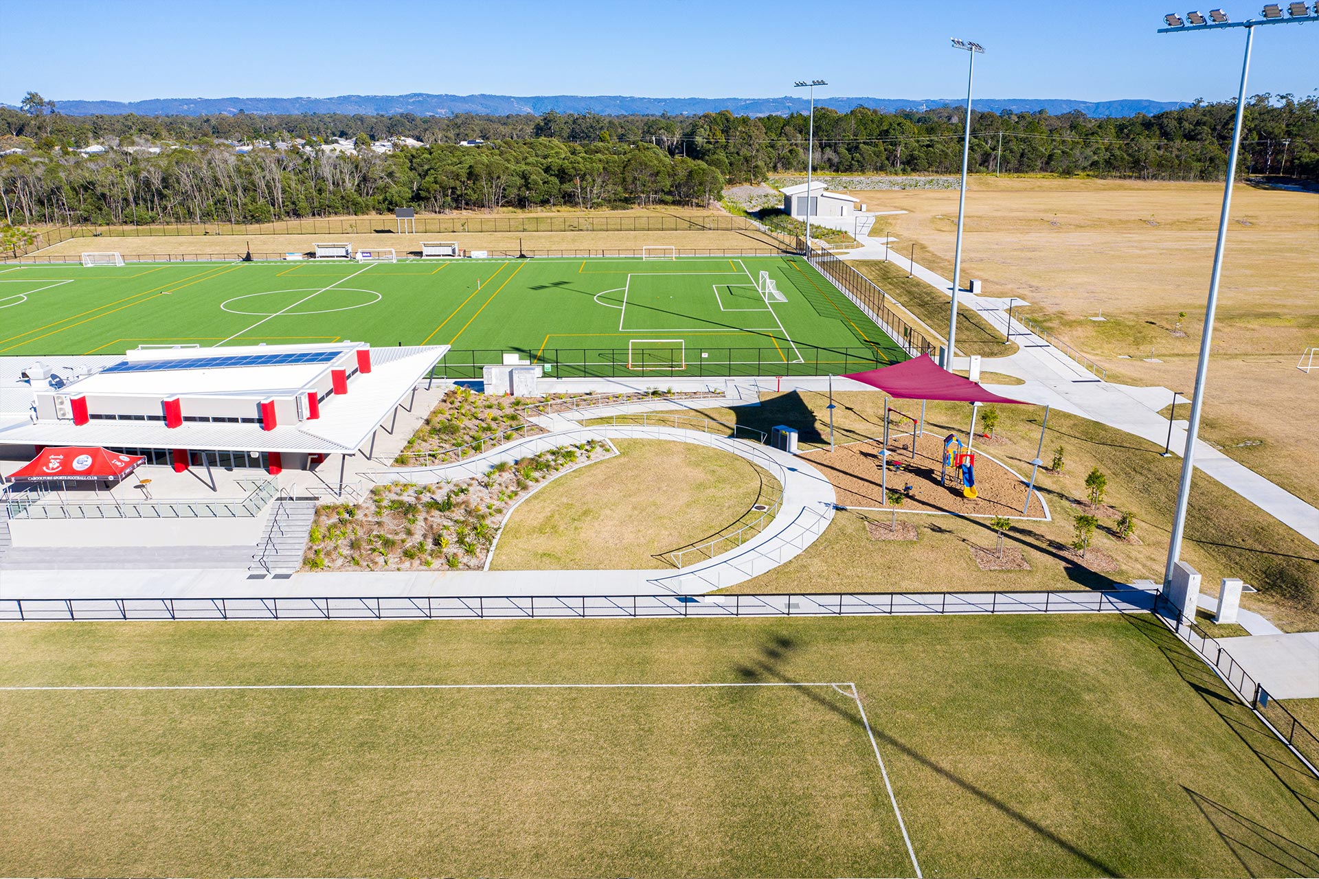
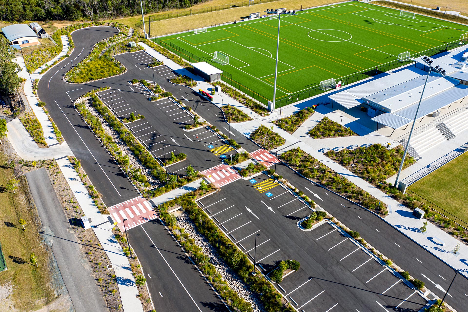
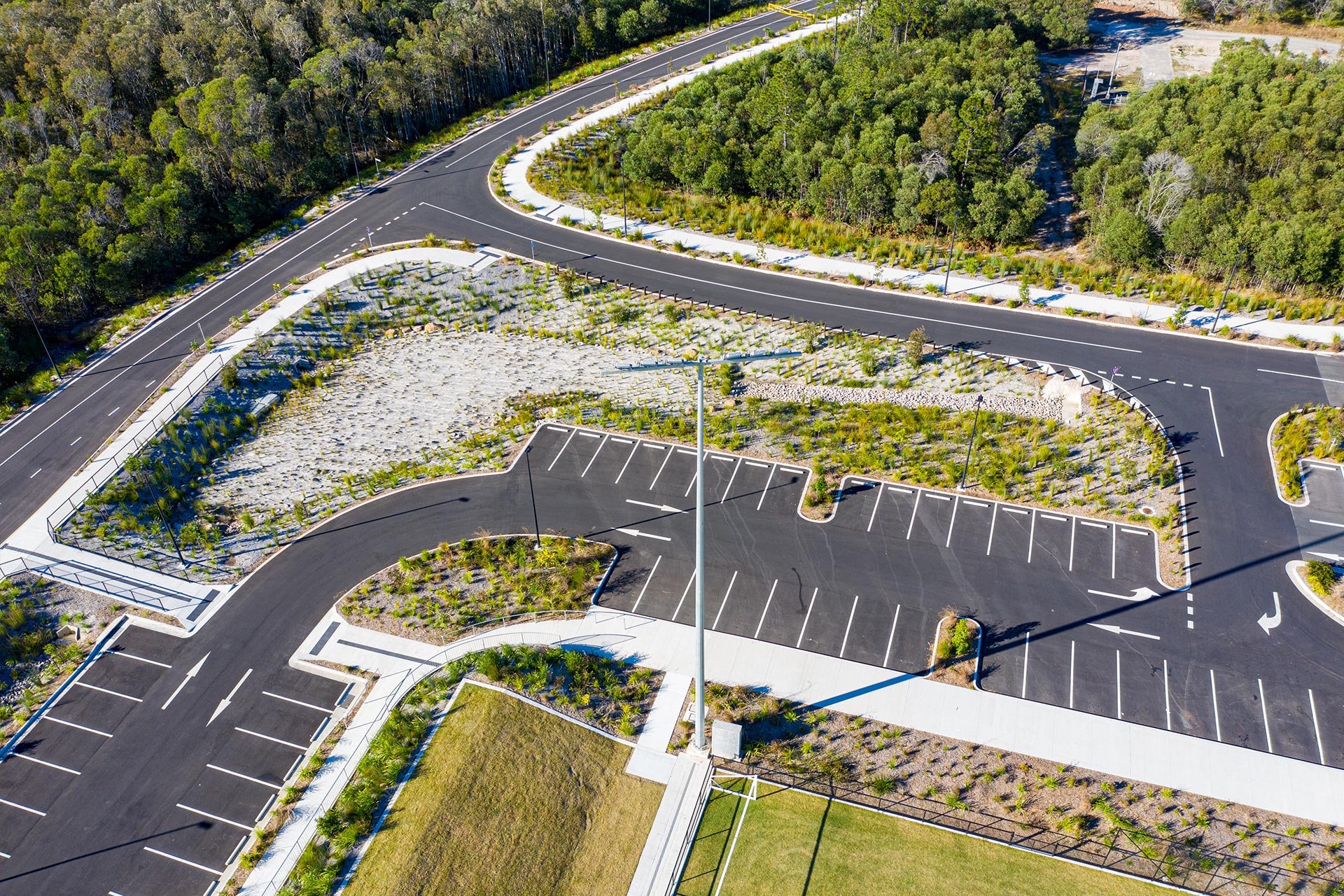
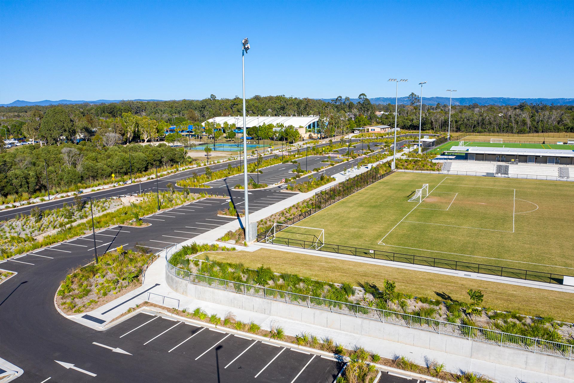
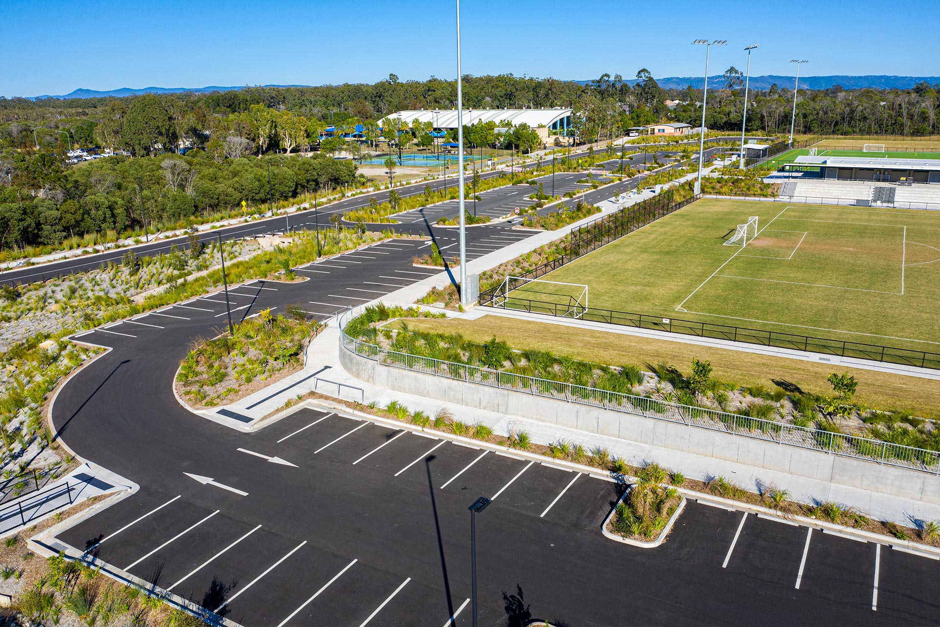
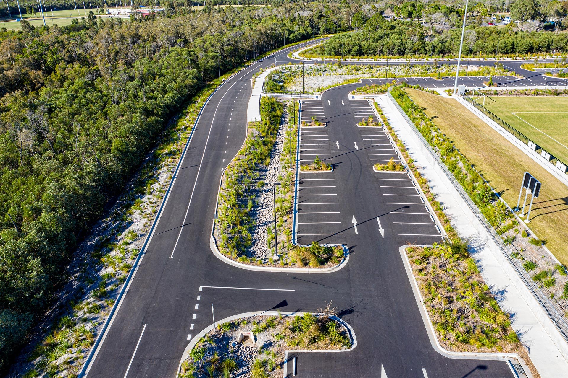
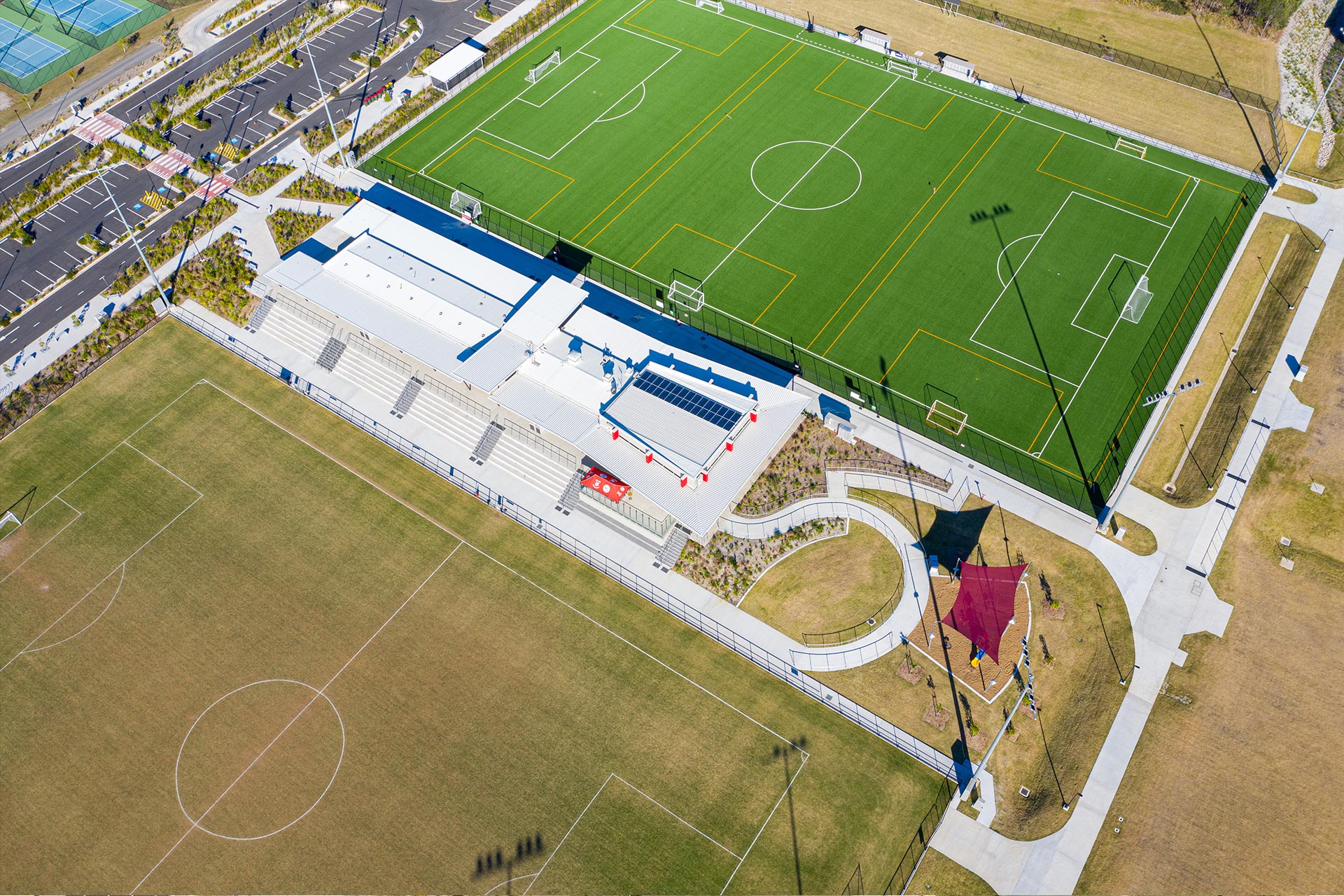
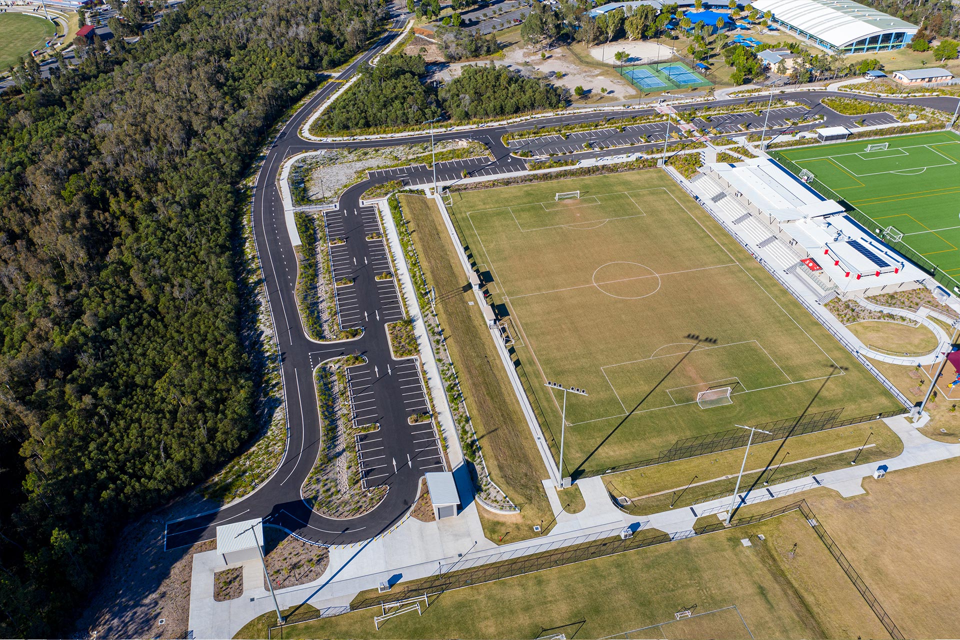
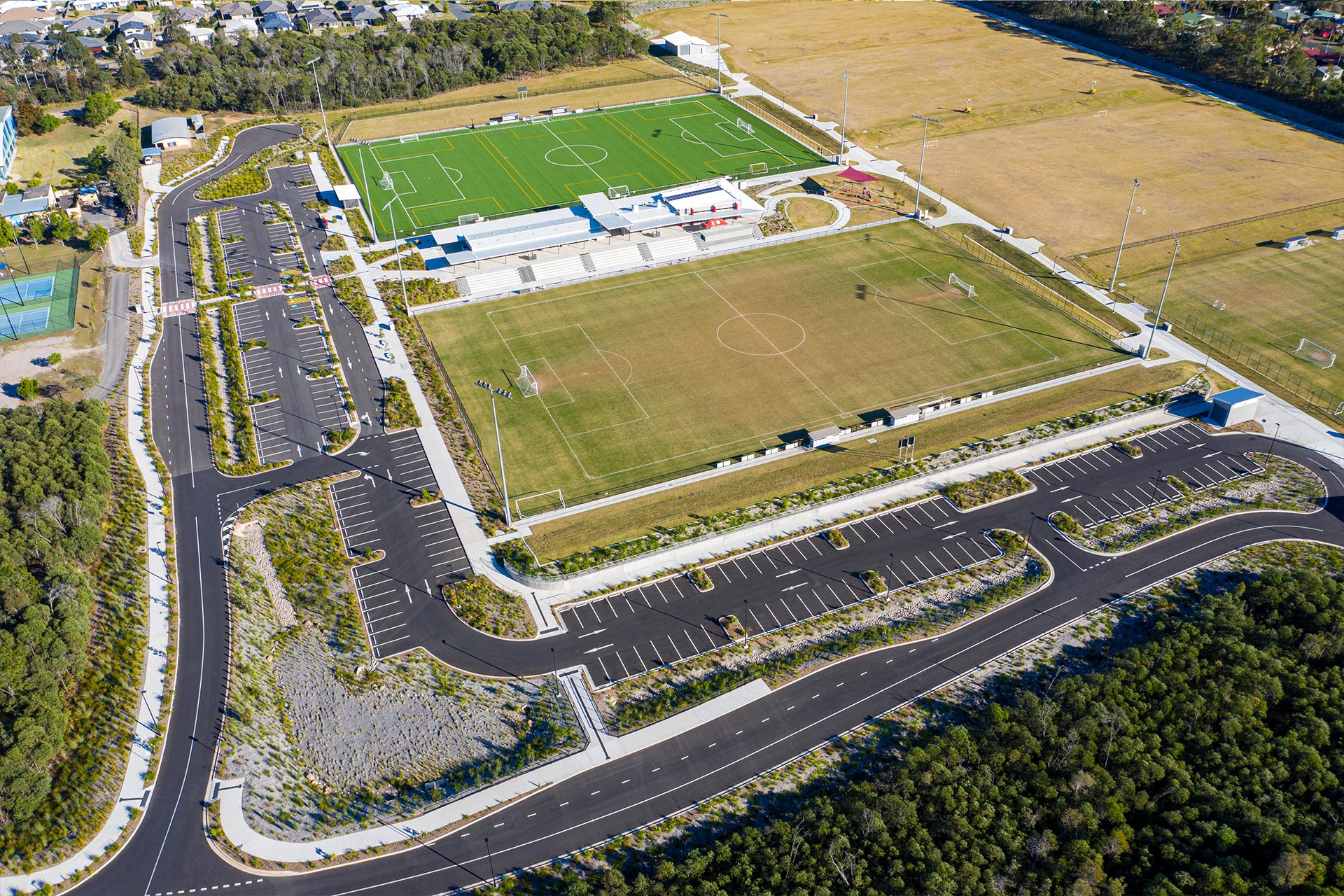
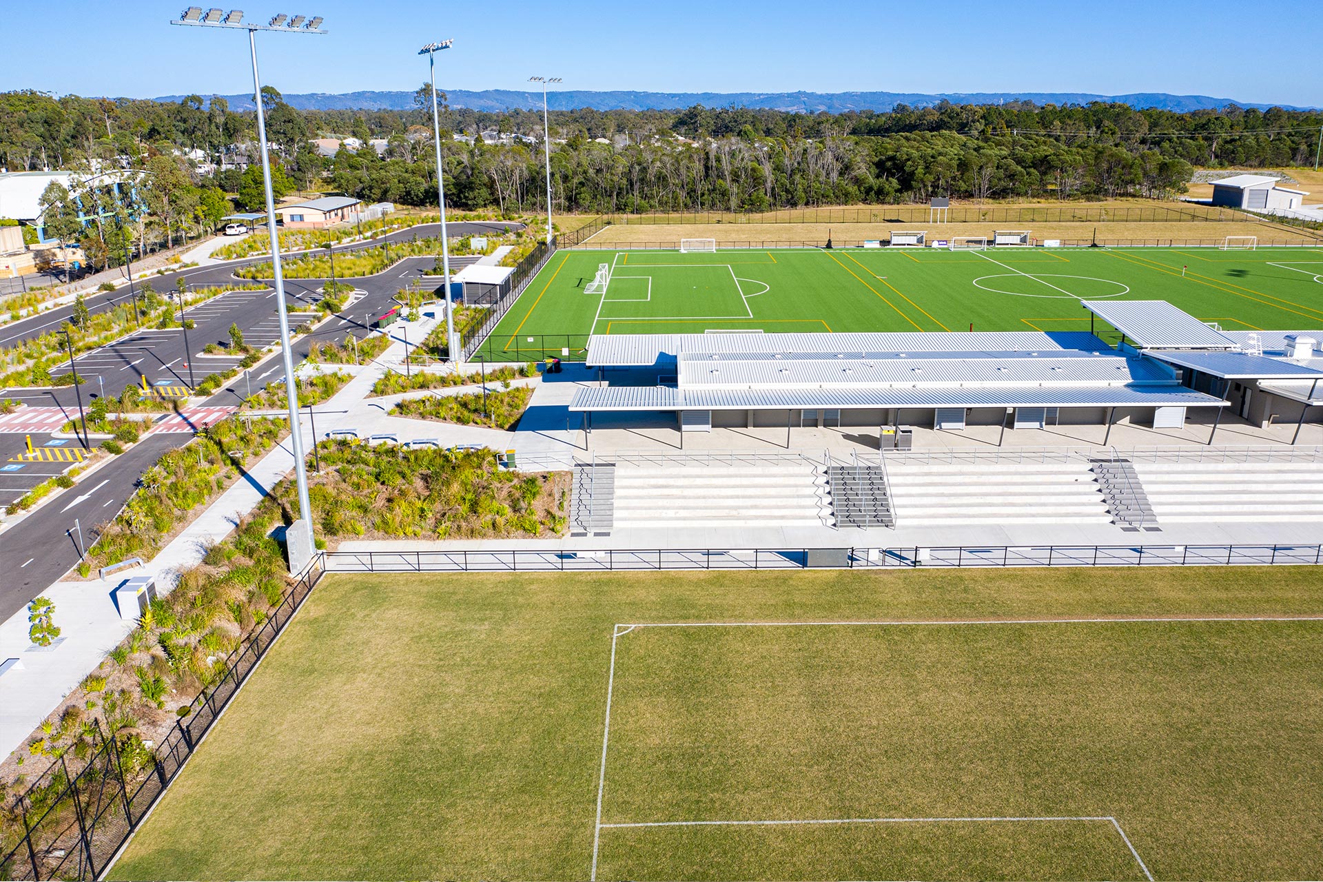
Water Resources, Harvesting and Use Strategy – Burpengary Moreton Bay Central Sports Complex Soccer Facilities Construction Stage 1
This project required the detailed analysis of the irrigation requirements for 6 soccer fields, and the harvesting opportunities. Council had identified that their existing adjacent facility including rainwater collection tanks were not providing adequate amounts of collected rainwater. Contour undertook a detailed water harvesting and re-use assessment and water balance model, testing various sized collection tanks to establish the system with the lowest life-cycle costs. The model included historical rainfall data, costs of alternative water supply, irrigation scheduling based on evapotranspiration, among other factors. It was found that the system constructed of pre-fabricated drainage cells of approximately 3000KL had a more efficient sizing than other systems tested.
Contour established a continuous hydrologic model, that evaluated in quantitative economic terms the various harvesting options, over the design life of the facility. Ultimately, delivering a system with the highest benefit cost ratio to the client.

Stormwater Quality Management Plan – Park Road, Deception Bay
This 87-townhouse unit development proposal utilised cartridge style proprietary stormwater quality improvement devices, to achieve the required water quality targets.
The challenging topography of the subject site required a distributed solution to stormwater management as opposed to a single system. In order to minimise costs Contour undertook an analysis for the requirement for detention storage on-site and as a result was able to avoid the use of stormwater detention.
Stormwater Management Plan – Nathan Road Sporting Precinct
Contour was engaged by Moreton Bay Regional Council to undertake engineering investigations as part of a Master Planning process for sports fields and the subsequent MCU application, including detailed earthworks and wetland design.
The sites grade was extremely flat with limited potential to obtain stormwater outlets and also had constraints with existing and future external catchments. Discussions were held with the various stakeholders including council as the client adjacent property owners and the neighbouring Isle of Newport development, where it was resolved to construct a stormwater treatment wetland. The treatment not only allows the site to obtain stormwater outlets but serves to mitigate stormwater quality issues from existing catchments.
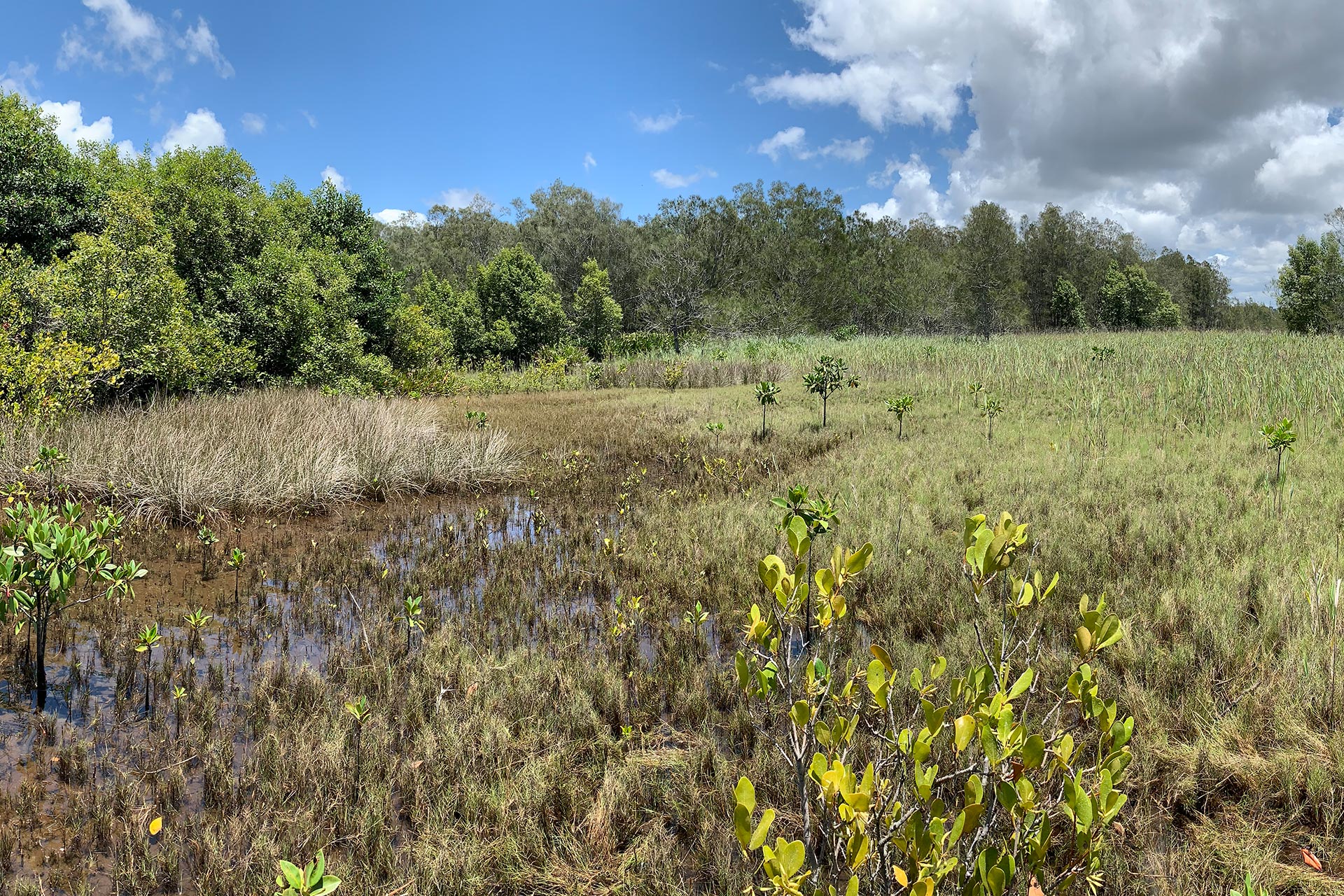
Integrated Tourist Facility Development “Twin Lakes” – David Low Way, Diddillibah
The Twin Lakes project is a major ($400M) Integrated Tourist Facility on a 33Ha land parcel located 5Km from Maroochydore Beach.
The site boasts 486 residential dwellings, supporting community infrastructure and a 3Ha lake. Contour has been involved in the project since inception and has coordinated complex Development Approvals on the site to a point where the project is now under construction.
The site is bordered by tidal waterways and a Conservation Park, therefore engineering outcomes have been greatly influenced by many significant environmental factors. Our technical works have included numerous reports and detailed designs. Examples of these outputs are; a detailed 2-dimensional, large catchment (>200km²) hydrodynamic model assessing tidal inundation; complex stormwater management models; and a Bulk Earthworks design for a 250,000m³ cut/fill operation.
Rural Residential Subdivision “Northridge Estate” – Anning Road, Forest Glen
This 18 lot Rural Residential estate was created to purposefully blend within a site offering numerous significant environmental constraints. Contour was involved in all stages of the development, from initial feasibility and careful optimisation relevant to the positioning of prime building sites, through to the detailed engineering design of associated civil infrastructure. Part of the detailed analysis involved 2D hydrodynamic flood modelling to establish flood characteristics through the area and confirm non-worsening to downstream properties.


Forest Hills Drive, Morayfield
Contour successfully conducted a Flood Mapping Challenge of the Moreton Bay Council Flood Hazard Overlay for a 87 Lot Rural Residential style development.
The mapping challenge involved the modification of Council’s TUFLOW flood model, by eliminating the site constraints that were impacting the flood extents. Contour’s Stormwater expects obtained and scrutinised Council’s existing Regional Flood Database (RFD) model, Developed a ‘base case’ model being a cutdown version of council’s existing RFD model, simulated the 1% AEP Design event for the base case model, undertook hydrological modelling for the proposed changes in land use, and prepared flood mapping to confirm the flood extent across the site.
